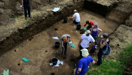
Our 2012 fieldwork season can best be described as an evaluation: a chance to take stock of the full site archive and assess, through targeted excavation, precisely how much deterioration has occured since its last investigation.
As an internationally important wetland site and Schedule Ancient Monument, our research plan was designed according to English Heritage’s MoRPHE (Management of Archaeological Projects in the Historic Environment) framework, and was subject to Scheduled Monument Consent.
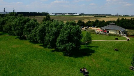
Our aim was to redefine the physical extent of the Bronze Age platform, and understand the evidence of settlement on the dry-land area of Northey Island. This also provided information on the preservation environment (ie: how wet or dry the Bronze Age wood was) to understand the long-term sustainability of the monument.
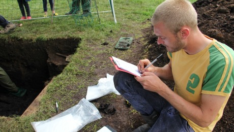
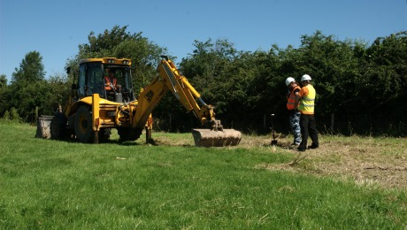
In order to accomplish this, we carried out an auger survey, opened a limited number of test pits (small trenches) and larger, targeted trenches to define the physical extents of the waterlogged remains, and to understand the quality of their preservation. We also digitised the plans from the previous excavation archive (Area 6D) that were damaged in a fire, and resurveyed these into the site GIS record.
Three core principles of our excavations for the Flag Fen Lives project were:
1: To provide detailed scientific information on the preservation environment at Flag Fen, in order to assess the long-term sustainability and life of the monument in the face of drainage, farming and development impacts.
2: To bring the Flag Fen Archaeology Park to life by making live excavation part of a unique visitor experience, and to build a global online audience.
3: To provide tailored field school training for our Venturers, and to provide the best education and experience possible.
Click here to view the full project design and assessment report from our 2012 season.