Lindisfarne is an island so steeped in history and drama that it hardly needs an introduction; it’s where the stunning Lindisfarne Gospels were created and was the wellspring of England’s Christianity. In 793 it was the site of one of history’s most momentous Viking raids… DigVentures went to visit.
So, as an archaeologist, I headed there on Frjá-dagr loaded down with cameras, plans, and very high expectations.
Given that the visit as planned for practical reasons as part of our preparation for a new DV project in June 2016, we were focused on viewing Holy Island through the lens of logistical questions. I was not prepared to have my breath taken away by the sheer beauty and power of Lindisfarne as a place.
Whether you are religious or not, from the moment you hit the causeway the island begins to assert itself. We drove across just as the waters were drawing back from the morning high tide, and there were people already splashing acrossThe Pilgrim’s Way on foot. With just a short window before the returning tide marooned anyone still on the island overnight, we had to use our few hours there wisely. Luckily for me, time began to stand still almost instantly, leaving plenty for work as well as contemplation.
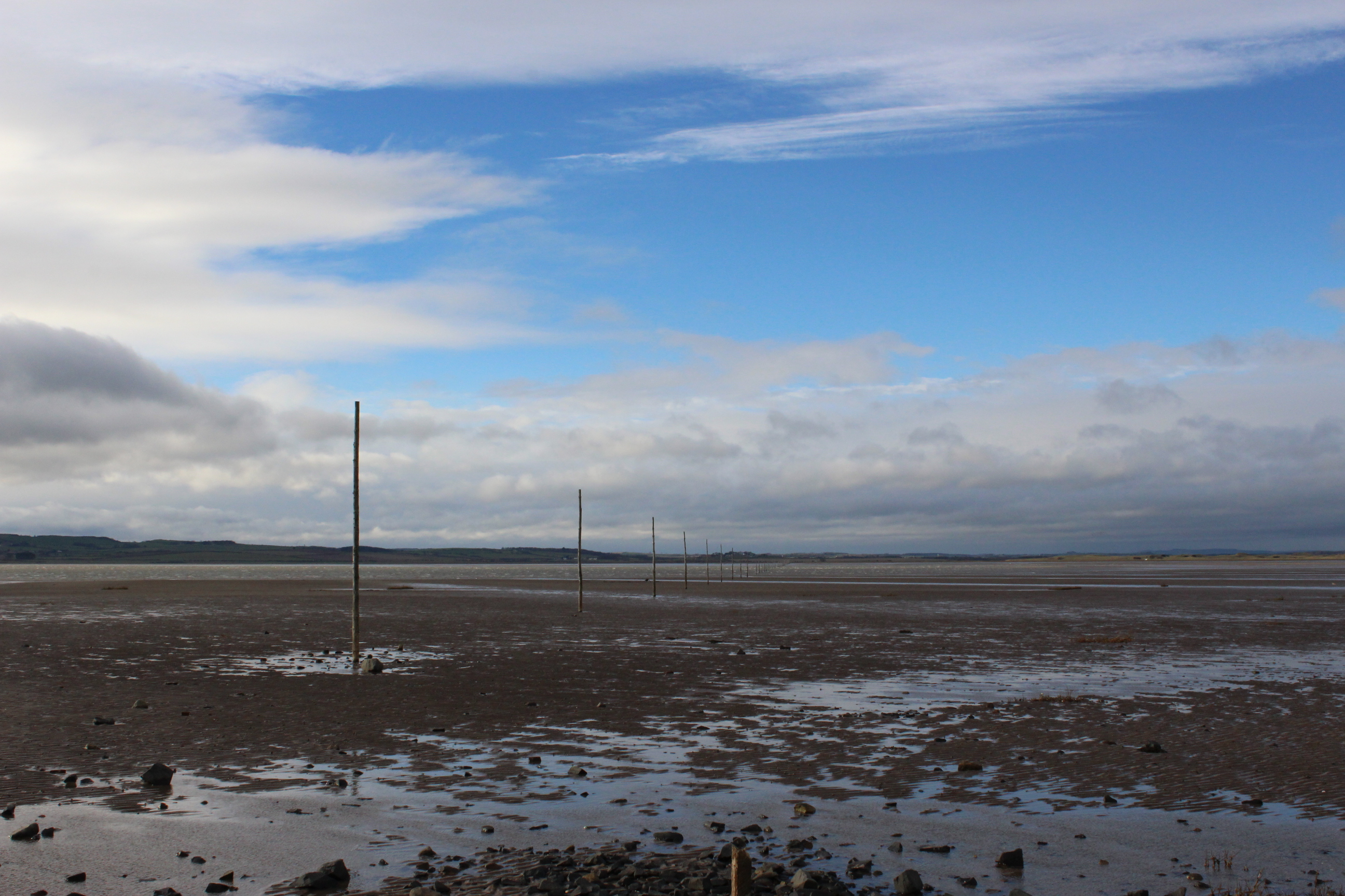
The wooden poles outline the Pilgrim’s Way, which is the safest place to cross the sand flats between Lindisfarne and the mainland.
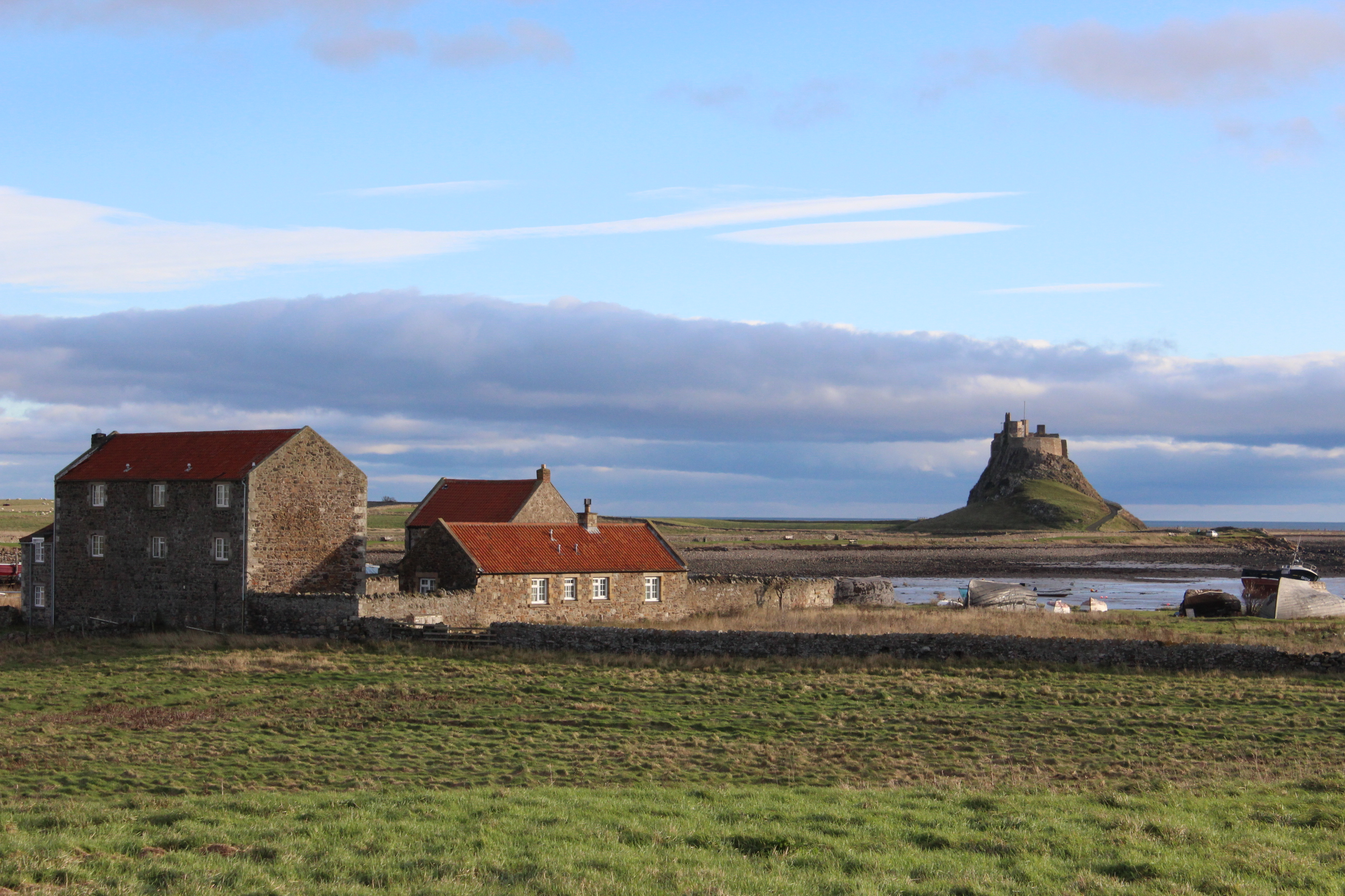
View of Lindisfarne Castle.
We met our project partner, Dr David Petts of Durham University, next to the Parish Church of St Mary the Virgin, a lovely structure which has some bits left over from the 7th century. David is an authority on early Christianity in Britain; fresh from several years excavating at the Roman site of Binchester, our project on Lindisfarne is David’s brainchild, and his excitement at returning to his main research focus is contagious.
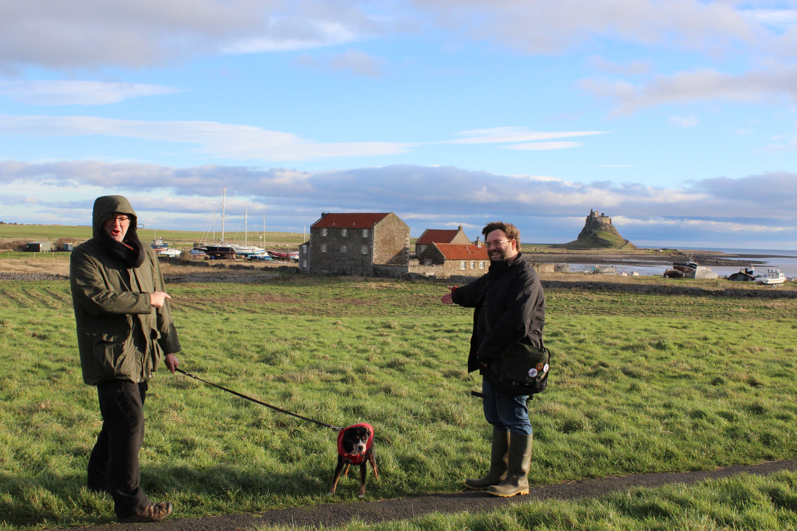
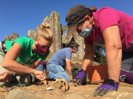
David and Brendon ecstatically pointing to the spot chosen for trench one. Lindisfarne Castle shows in the distance – not a bad view!
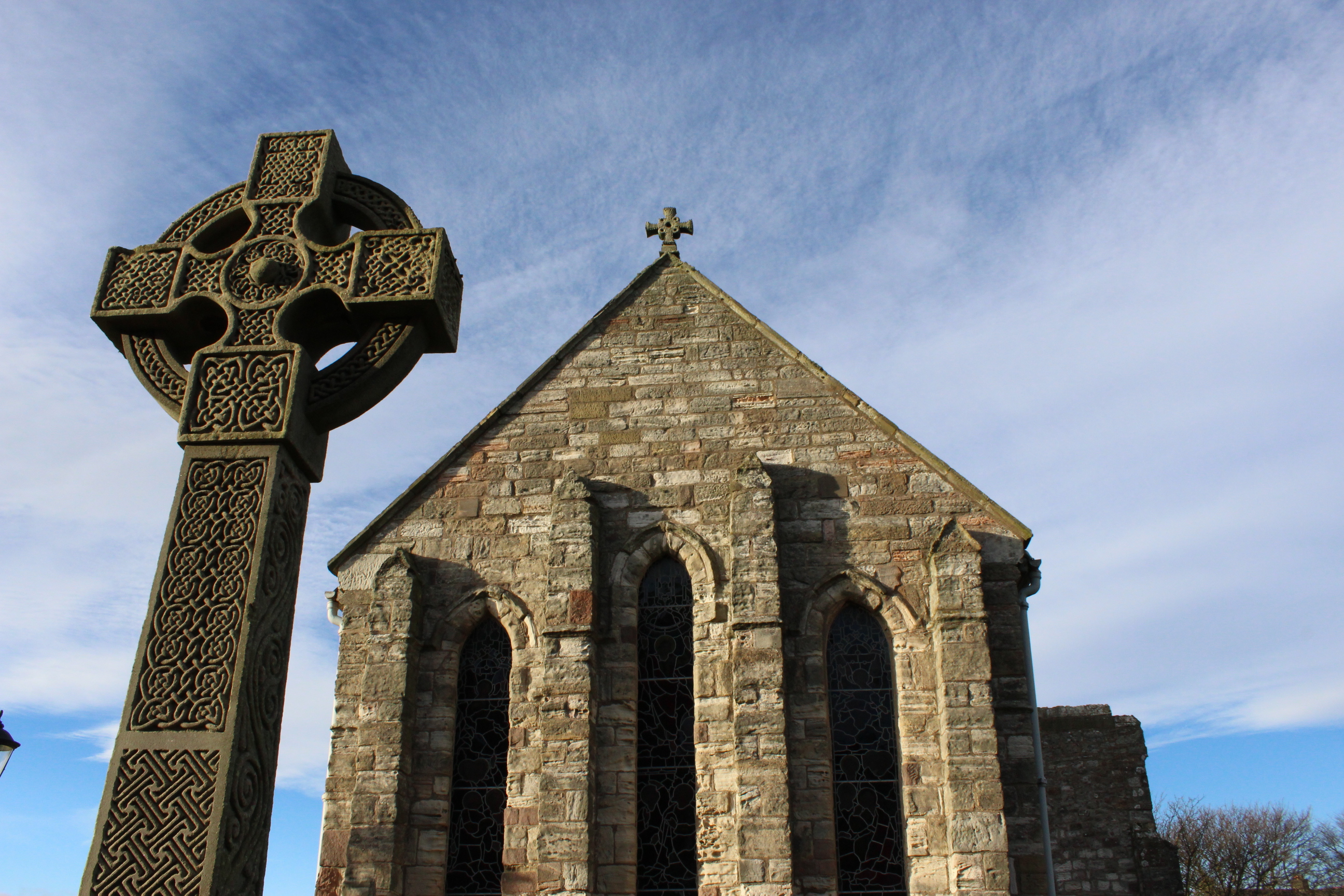
Façade of St Mary’s, with Celtic cross in the foreground.
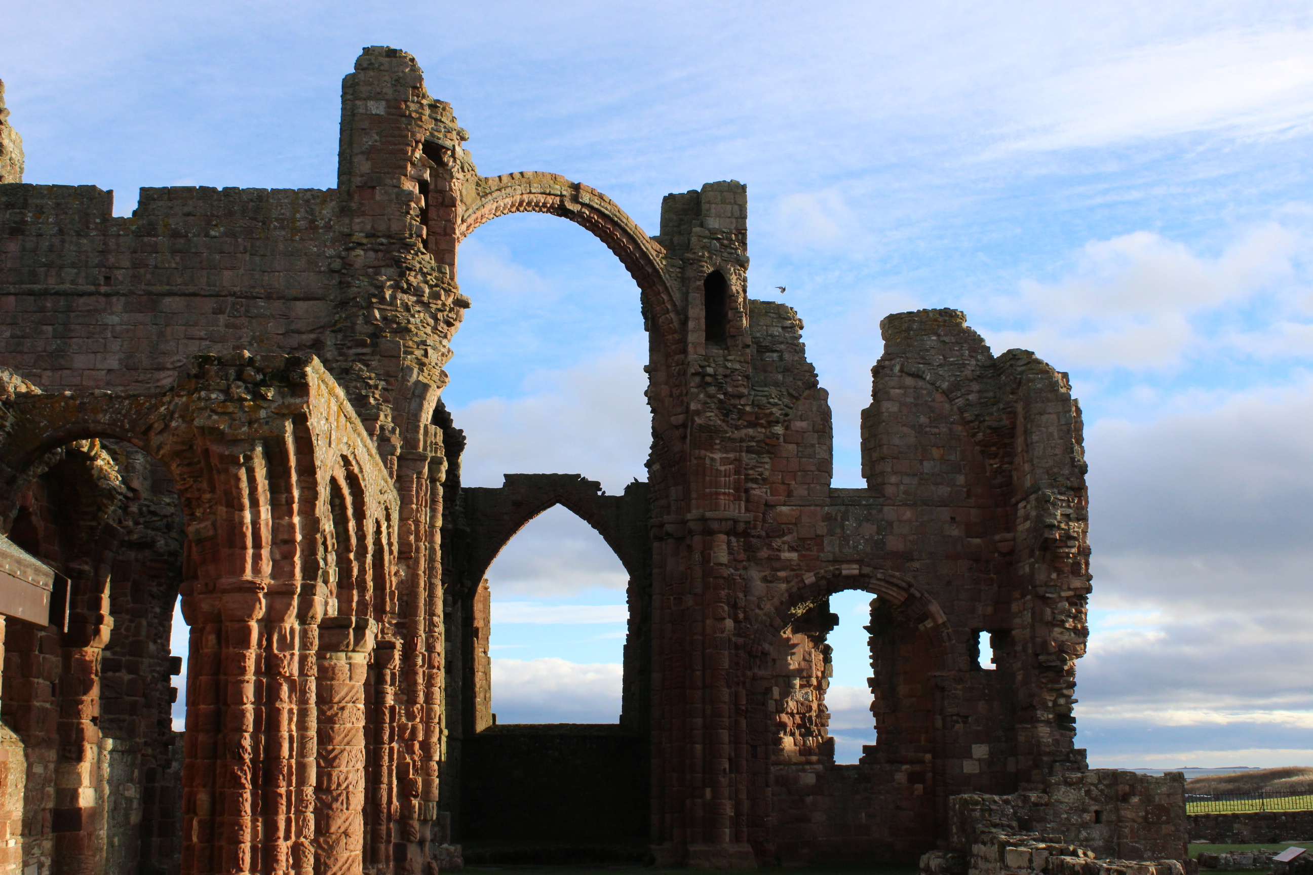
Ruins of the 12th century Priory. This structure was built after the monks returned to Lindisfarne following the end of the Viking threat.
We walked over both of the areas David has targeted for trenches based on geophys and the desk-based assessment, and I marvelled at the depth of his archival research into the previous excavations on Holy Island that will inform our work there. We will be looking for the original Anglo-Saxon monastery which pre-dates the 12th century Priory, which would have been the structure raided by the Vikings.
The landscape is quite flat and exposed – perfect for a trench, but very bad for hiding from marauding Northmen. As we strolled with purpose across the island, I couldn’t help but keep wondering which spot was THE spot where the Vikings pulled their boats ashore on 7th January, AD 793.
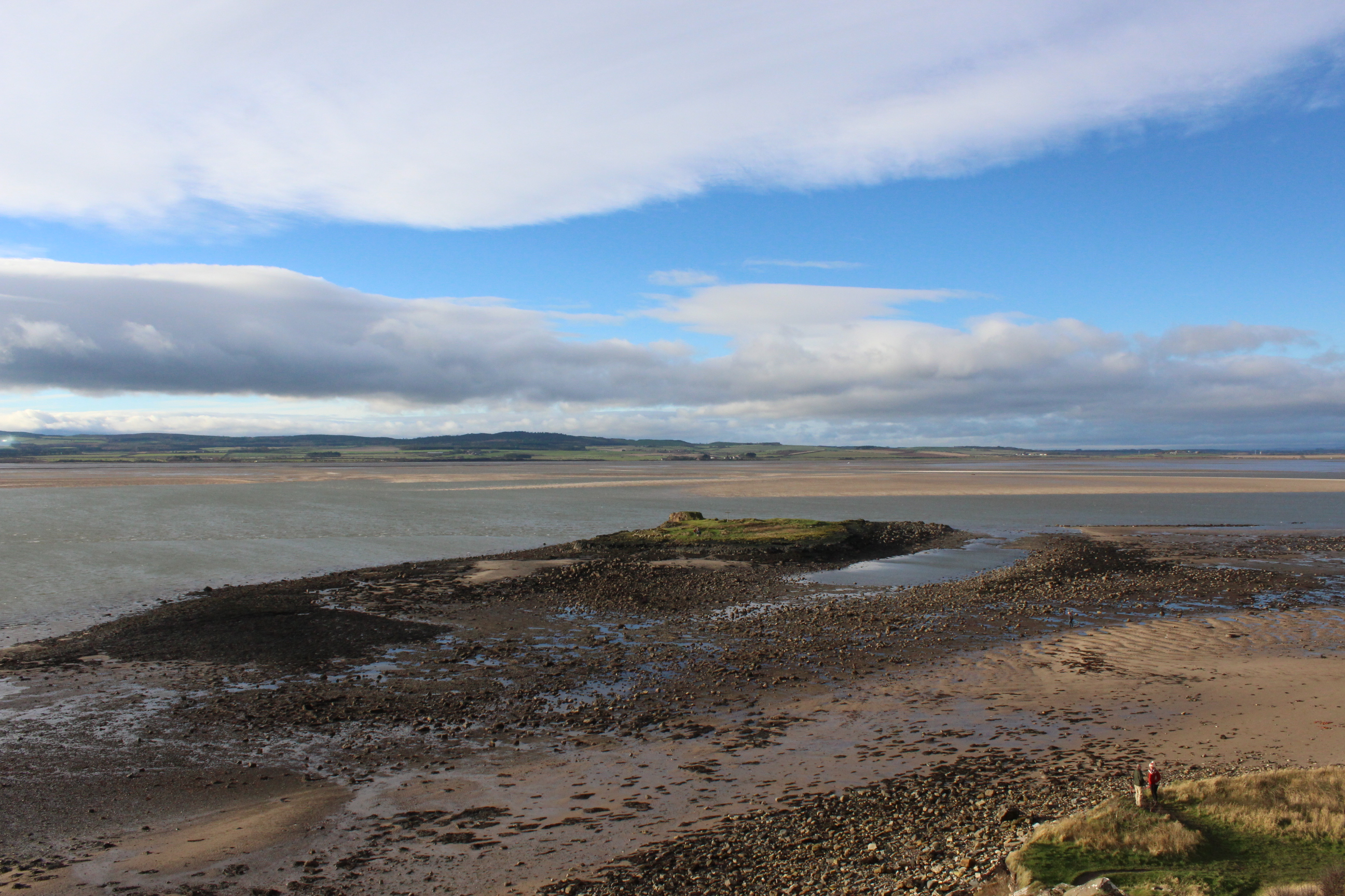
Looking towards St Cuthbert’s Island. A chapel dedicated to St Cuthbert on Holy Island is described by Bede in the late 7th/early 8th century, and there are remains of a structure probably used by St Cuthbert (AD630 to 687) as a hermitage.
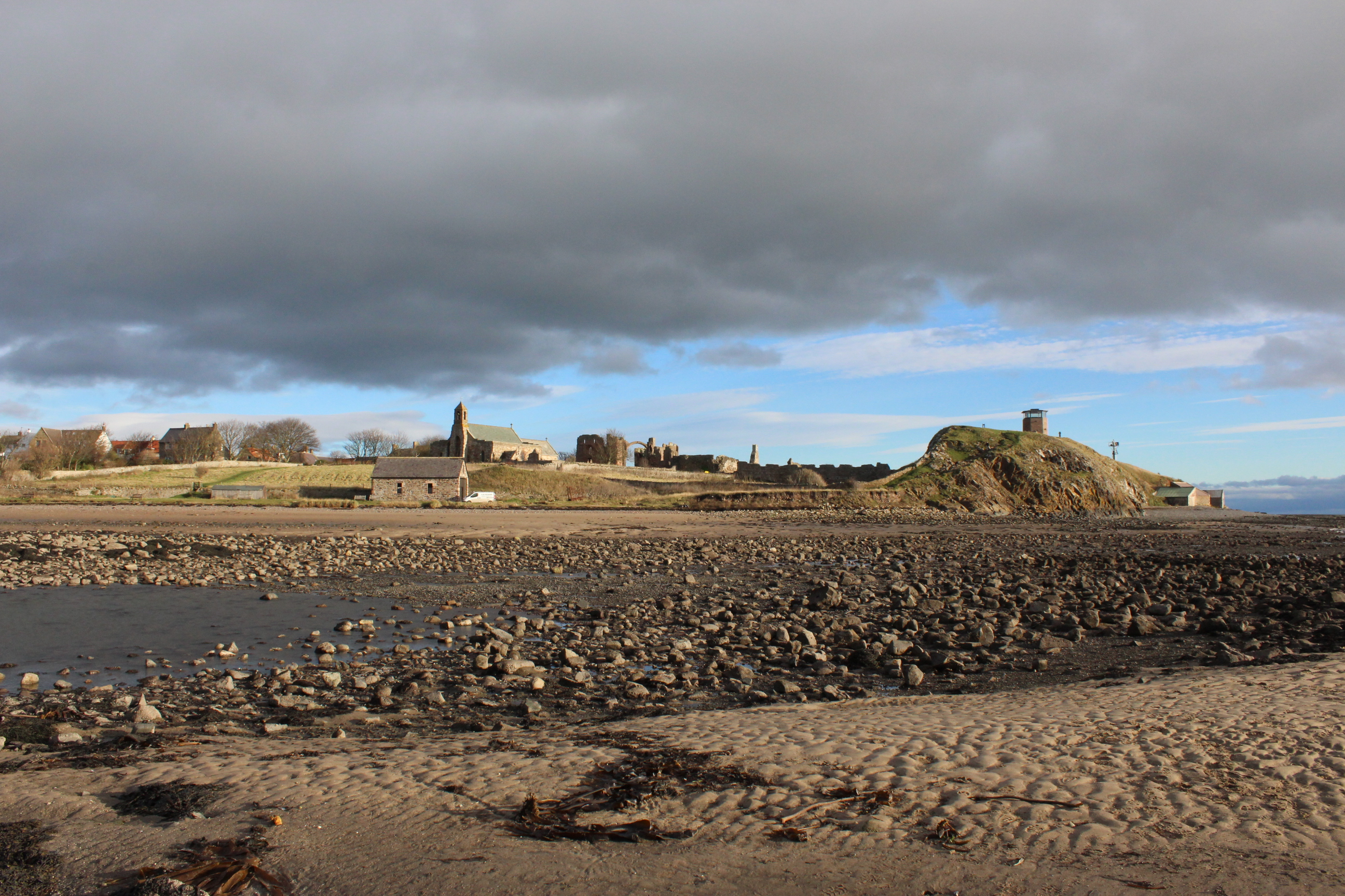
View of the Priory ruins and modern town from St Cuthbert’s island.
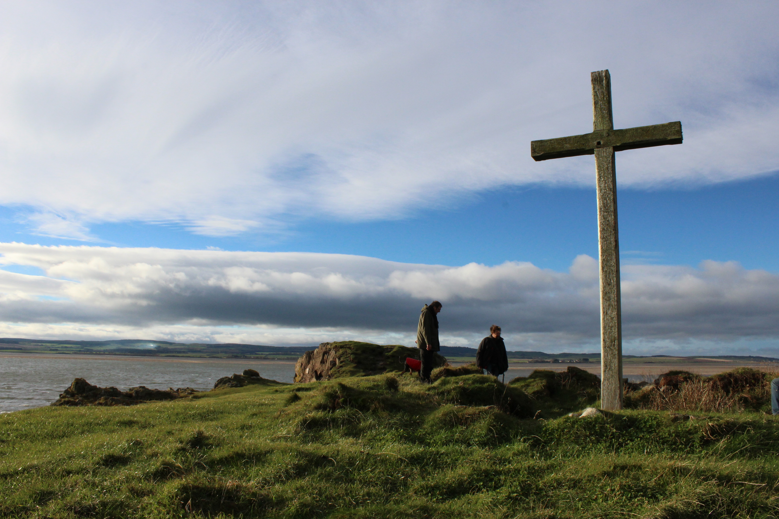
David and Brendon on St Cuthbert’s island.
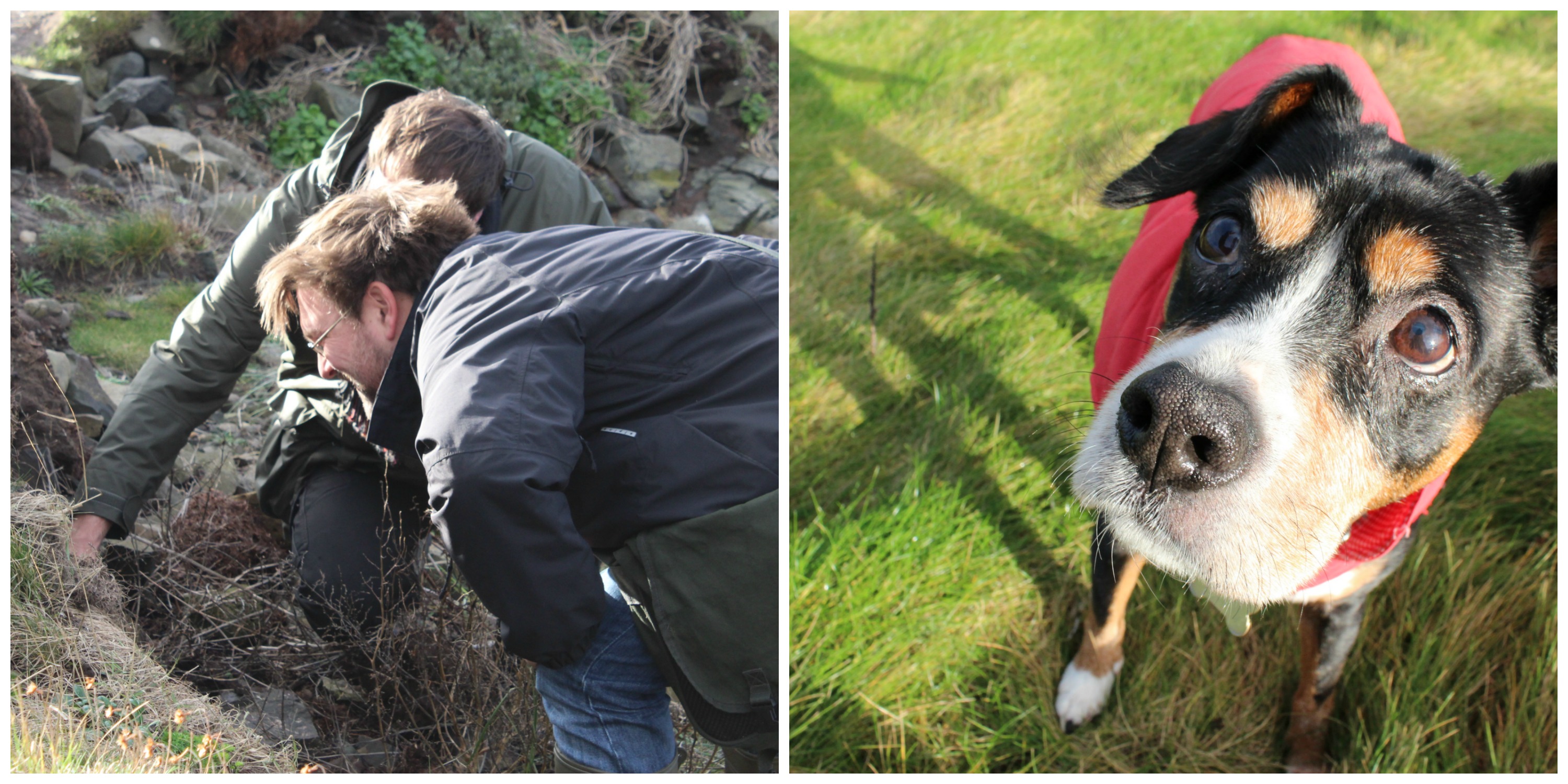
You can’t take archaeologists anywhere! David and Brendon inspect erosion around the hermitage structure on St Cuthbert’s island, while Fergus has a quizzical reaction to the seals.
In addition to the modern town, religious structures cover Holy Island, both visible above ground and invisible below. These layers of construction as well as the evident tightknittedness of the current residents makes obvious what can be accomplished by a community of people working in synchronicity. We can’t wait to come back in June and add our own small contribution of time and effort to this timeless place.
What else can I say, really, about our visit? The skies are huge, the views from Heugh (the large ridge dominating the eastern side of the harbour) across to Bamburgh Castle just endless. The town is welcoming, with a rather lovely pub that looks ripe for colonisation during the dig. Over by St Cuthbert’s island, there were seals sunning themselves on the sand flats. Fergus was very confused!
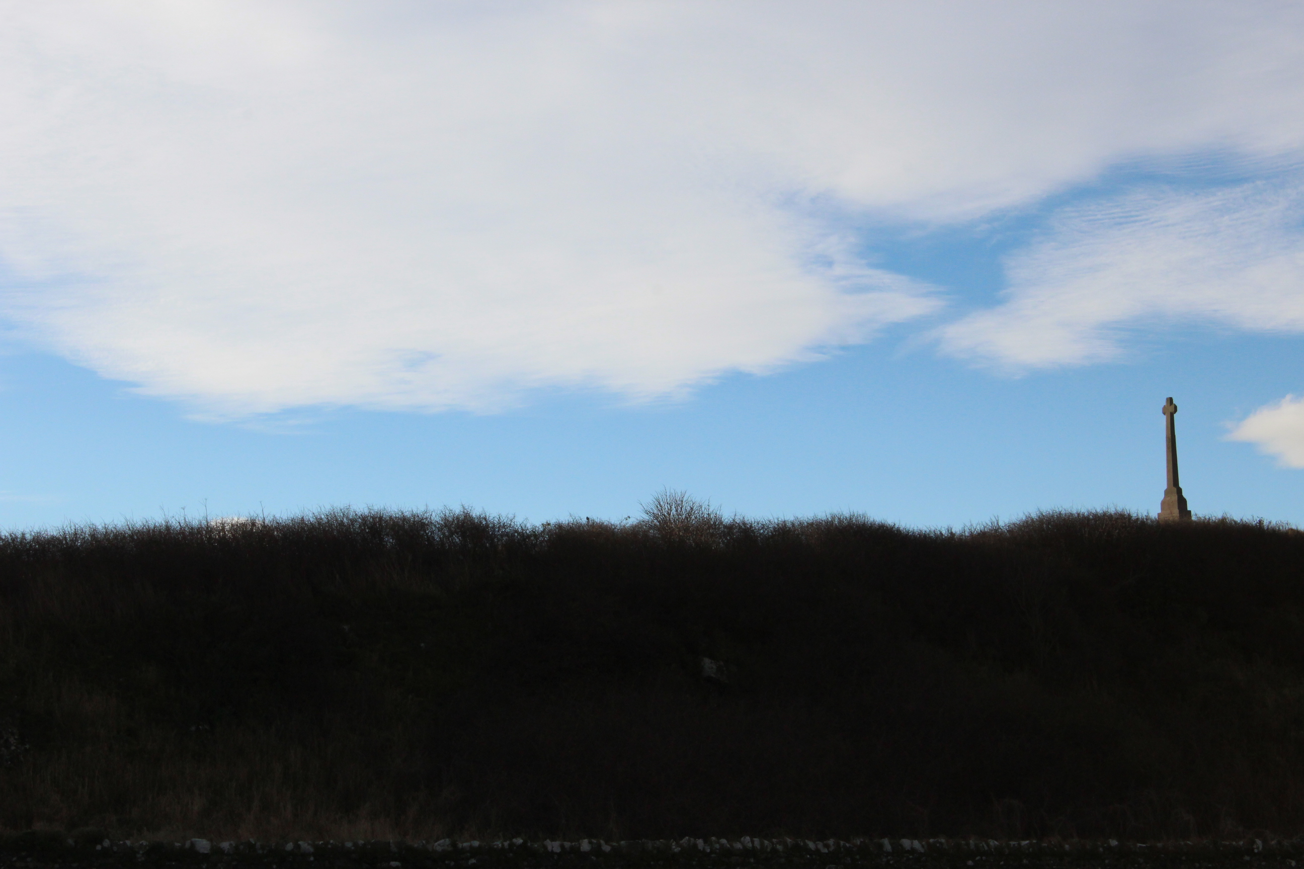
The Heugh, a large ridge on the eastern side of the harbor. The Priory ruins are immediately to the right of this image, and a Lutyens war memorial can be seen on top.
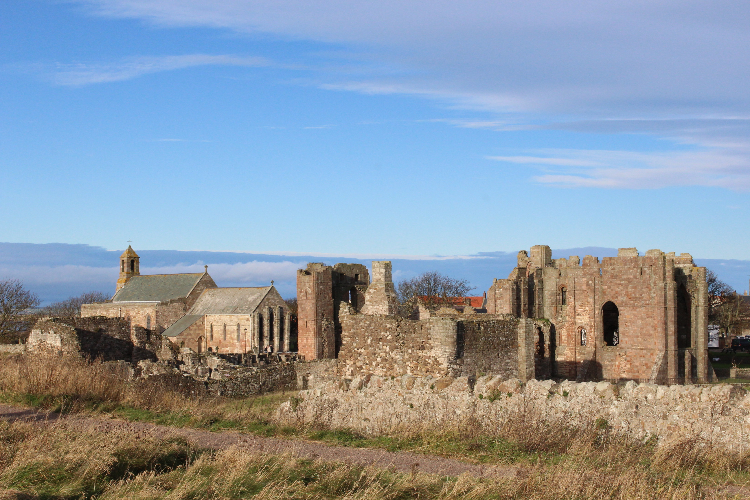
View of the Priory and St Mary’s from atop the Heugh. Trench one will be located to the right of this shot.
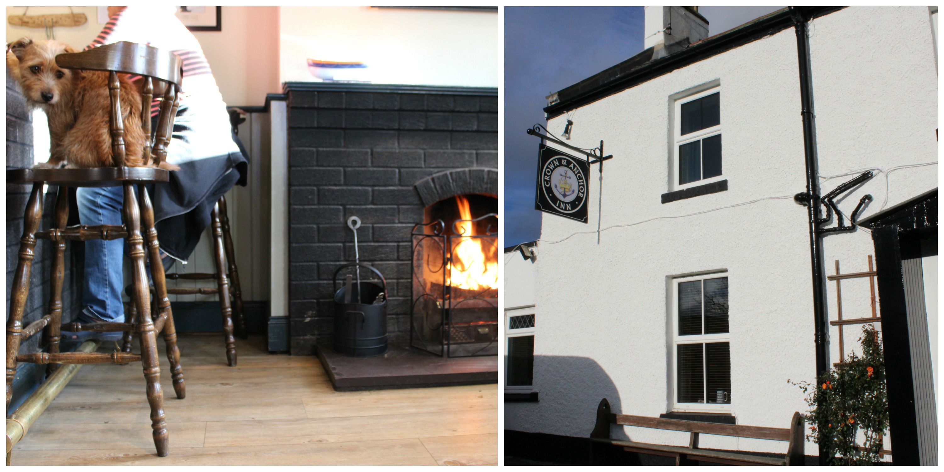
Bauer the dog holds court at the Crown and Anchor, which is located right next to one of our trenches! The islanders are a close community with a long seafaring tradition – we can’t wait to hear a few tales told around this fire.
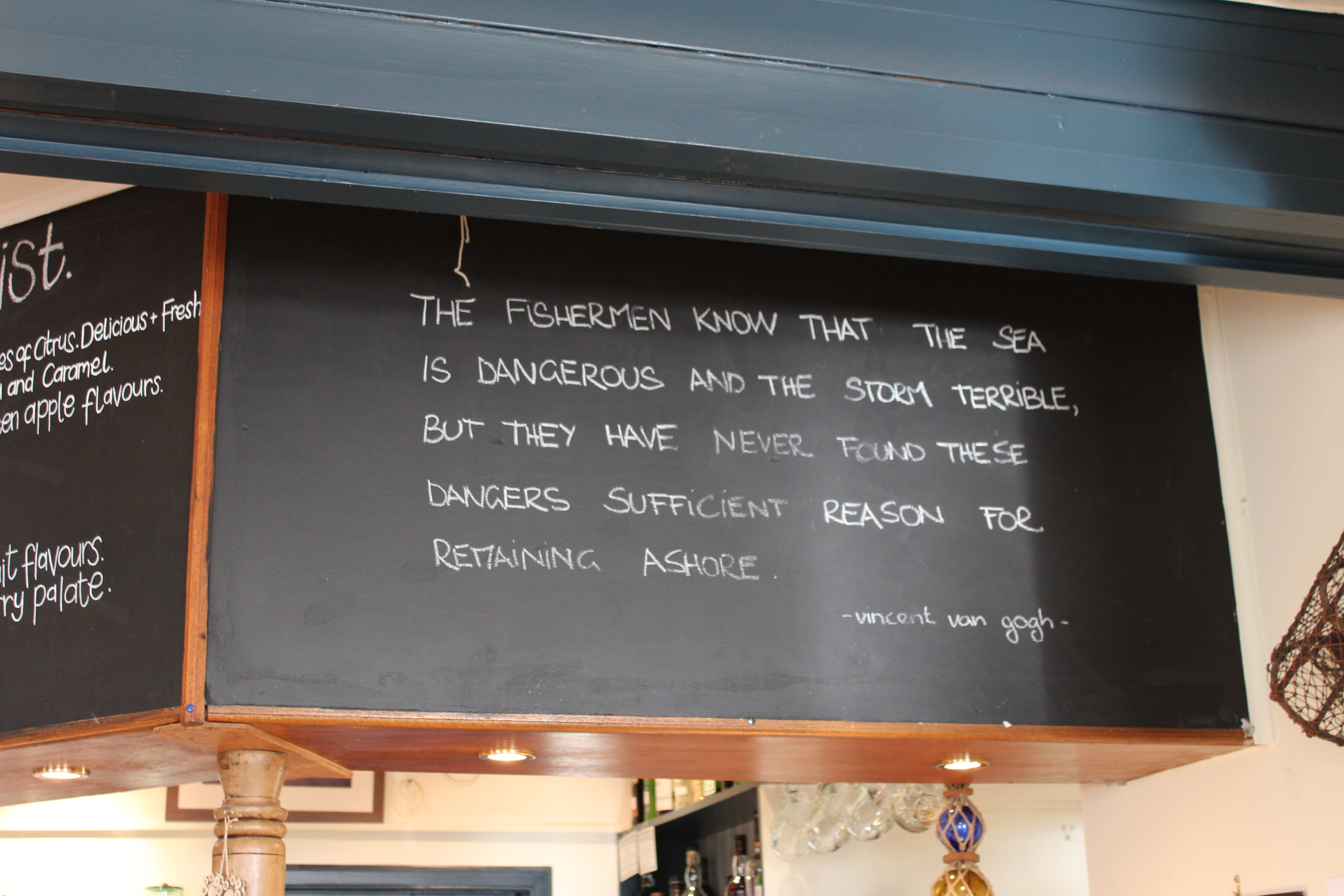
At the Crown and Anchor.
As we raced the tide back across the causeway (we nearly didn’t make it!), my mind was full of everything I had seen, the details David had shared about the research goals for next year’s project, and the plans we had made together to explore so many exciting aspects of the site: archaeology, art, religion, Vikings, early Medieval culture… the list goes on and on.
At the same time I felt very still and calm – I half expected to return to the mainland and find that 100 years had passed! The traffic on the A1 outside Newcastle brought me back to the present with a bump, however, at least until our next visit.
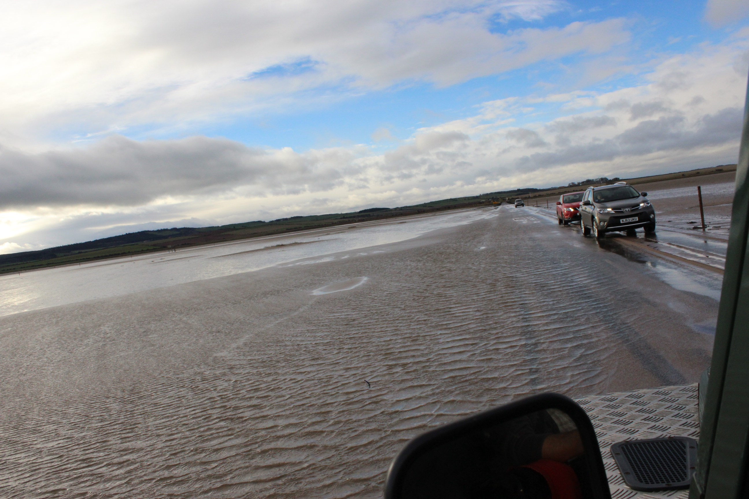
Racing the tide across the causeway back to the mainland!
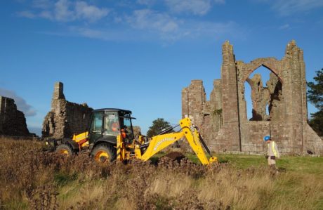
Plans for the Lindisfarne 2016 project are well underway – stay tuned for more info in our newsletter!