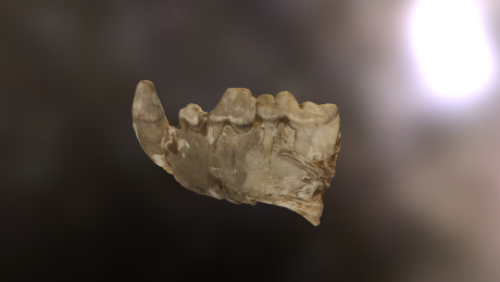
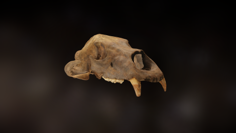
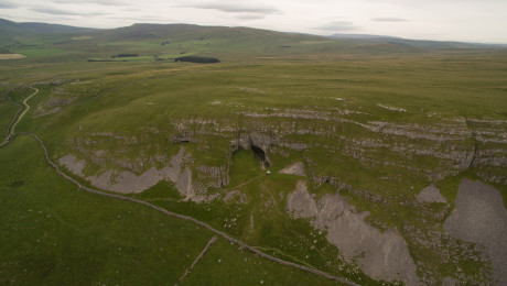
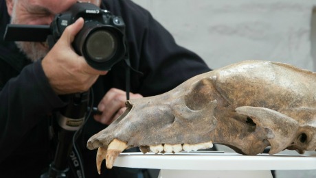
Victoria Cave sits in a wider landscape of Yorkshire’s distinctive limestone uplands. Throughout its history, it has been roamed by Ice Age animals, prehistoric hunters, Roman soldiers and medieval shepherds.
These limestone hills, dominated by Langcliffe Scar, form an incredible natural vantage point. From the top, you can see all the way down into Ribble Valley, over to Pendle Hill in Lancashire and – on a clear day – all the way to the Lake District fells.
But it’s not just the views that are great. Look closely at the landscape’s humps and bumps and you are effectively looking into the past.
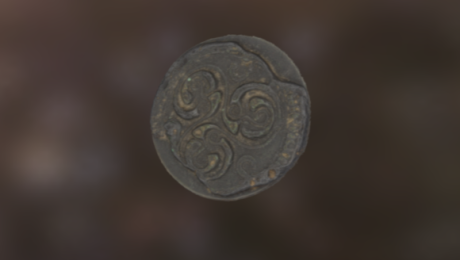
Above Victoria Cave lies Victoria Camp, a complex of hut circles and associated enclosures. To the south east, there’s also Settle Bank, where the remains of another Romano-British camp – Attermire Camp – are also visible, from which a coin hoard hidden in a pottery jar was recovered.
Archaeological excavations (directed by King in 1966) and a topographic survey (Martlew 2007) produced tantalising evidence of Late Prehistoric and Romano-British settlement, burial and even industrial activity.
In fact, taken as a whole, the area around Victoria Camp and Settle Bank presents a nationally important research opportunity. They can help us understand why the caves came back into use long after the Ice Age, and how these features were used as places of refuge, stock management, habitation, religion and burial, and Late Prehistoric and Romano-British mineral and metal working.
By flying a drone over the landscape, we now have a 3D model of the landscape that anyone can explore, and can use to visit, revisit and understand and the context any archaeology found in this relict landscape.
And for anyone who fancies getting out and exploring this landscape for real, we’ve put together this downloadable walking route for you to follow.